To meet the requirements of the new mandatory regulations companies strive to further reduce their GHG emissions and that presents some real questions:
Integrating new technological solutions is vital to meet the new requirements. Low speed and low-fidelity data as well as outdated voyage optimisation algorithms are a drawback that will result in inefficient operations, lost time and money.
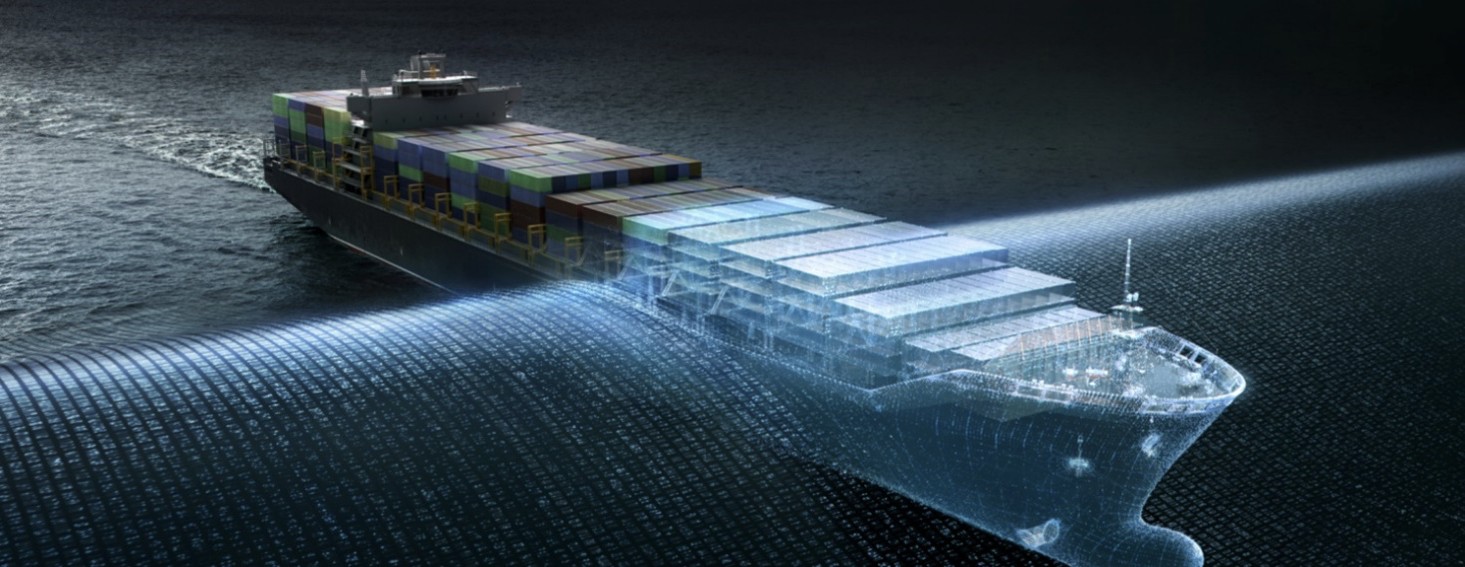
A high-performance voyage optimisation engine, capable of solving the challenges of the industry by utlising the very latest advances in A.I.
It is ideally suited for Maritime Solution providers that require a highly adaptable and effective voyage optimisation engine that significantly improves ship performance and efficiencies.
The flexibility of this high-performance tool encourages seamless integration of multiple environmental and operational modules that exist within the industry.
Current optimisation parameters include:
Uniquely, all parameters and modules are interchangeable with third party solutions. Additional modules may also be applied.
The implementation of our data is through our high-performance Rapid Data Access Service (RDAS), which provides virtual real-time delivery of high-fidelity met-ocean data for route analysis that significantly reduces data transfer and handling requirements.
~1000 data points per millisecond performance ensures a solution that enhances your met-ocean data analysis operations.
Our WMS-API (Web Mapping Service) is producing on-the-fly map overlays for the exact area you require for each request.
Producing an effective animation rate with full functionality and forecast parameters are key to provide the most accurate image with a myriad of features.
For further information contact: sales@theyr.com